How long is the Vasota trek from the boat drop?
Quick Summary — Vasota Trek Distance & Difficulty
Here's exactly what you need to know about the Vasota trek's distance, elevation, and difficulty level.
- Walking distance (one-way): ~3–6 km from the usual boat drop to the Vasota fort base — this varies with reservoir water level and chosen drop point.
- Round-trip walking distance: ~6–12 km (typical).
- Elevation / summit height: Vasota summit ~1,171 m / 3,842 ft above sea level; net elevation gain from the typical boat drop usually ranges ~200–600 m depending on where you land.
- Difficulty: Moderate — trail includes forest track, uneven terrain, and short rocky scrambles; suitable for beginners with basic fitness but not for infants or those with severe mobility issues.
- Typical trek time (boat-drop → summit → boat): 4–7 hours depending on pace, boat drop, and stops.
These figures are realistic working ranges — read on for why they vary, the exact factors to check before booking, and how to prepare so the trek feels comfortable and fun.
Why Distance & Difficulty Vary So Much
Vasota is unusual because the boat approach determines the walking distance. Three factors change what you'll walk and how hard it will feel:
- Reservoir water level (seasonal): High water = boats can land closer to the fort base → shorter walking distance and lower elevation gain. Low water = boats land further → longer walk and more climbing. (This is the single biggest variable.)
- Chosen drop point (operator & permit): Operators may select different landing creeks depending on permit windows or safety; some drop closer to Met-Indravali, others at a further inlet. Confirm the planned drop point when you book.
- Route choice & trail condition: The forest track is not a single paved trail — some segments have rock steps and short scrambles. Trail shortcuts, detours for viewpoints, and water-crossing choices change time and perceived difficulty.
Published distances are estimates. Always treat 3–6 km one-way as the working range and plan for the upper end when you book.
Precise Numbers & Sources (What We Used to Build These Ranges)
- Summit elevation: ~1,171 m (3,842 ft). This height is recorded in state sources and reference pages.
- Crowd-reported trail stats: A recent GPS track shows ~5.5 miles (~8.8 km) round-trip and ~2,487 ft (≈758 m) elevation gain on one recorded loop; other operator reports show shorter gains (~300–500 m) depending on landing. These varying datasets explain the spread in distance/elevation numbers. Use them as realistic bounds, not absolute.
- Boat crossing: Many visitors report ~60–90 minutes boat time from Bamnoli to the typical drop point; expect ±20 minutes based on engine & water level.
(We used multiple local trek pages, GIS tracks, and news articles to triangulate realistic expectations — always ask your operator for the exact landing point and predicted walking distance for your booking.)
How "Moderate" Feels — An On-Trail, Sensory Description
When guides say "moderate", here's what that means practically on Vasota:
Trail Surface
Mostly packed earth and leaf litter with occasional rock slabs and carved steps. Expect muddy sections in monsoon.
Technical Moves
A few short rock scrambles that require secure footing and use of hands in places — not vertical climbing but gripping/stepping on uneven rock.
Stamina Demand
Continuous walking for 3–6 km with intermittent climbs. If you normally walk 5–8 km on uneven ground, you'll be fine.
Exposure
Mostly shaded canopy; only summit and certain viewpoints are exposed to sun/wind.
Risk
Slips on wet rock, occasional narrow sections, and reduced visibility in mist — mitigated by guides and grip footwear.
If you're comfortable doing 45–60 minutes of uphill walking at steady pace without breaks, Vasota will be challenging but doable.
Typical Time Breakdown (Useful Planning Grid)
These are realistic timing blocks for a standard guided plan (boat → trek → summit → boat). Always allow buffer for boat delays and permit checks.
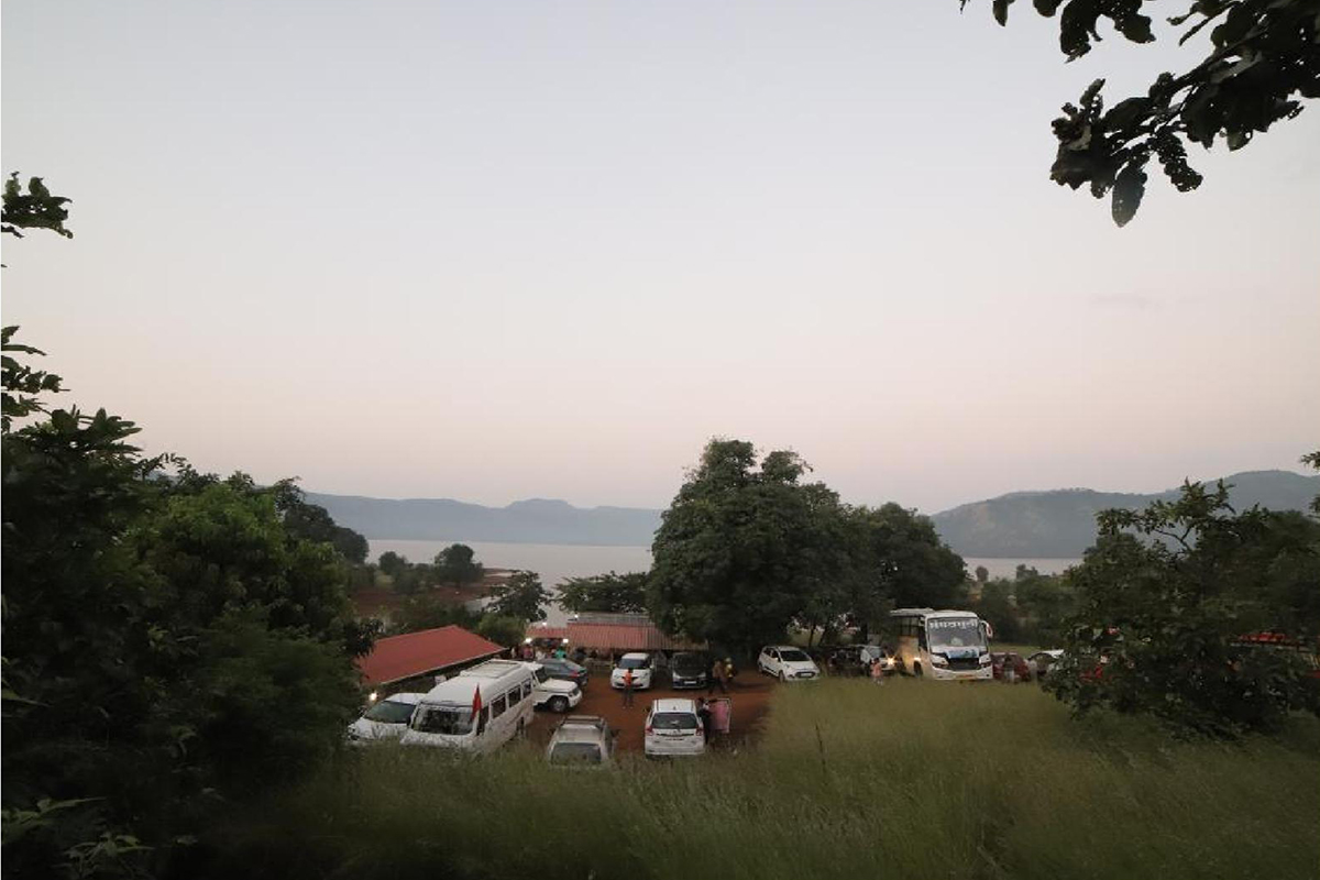
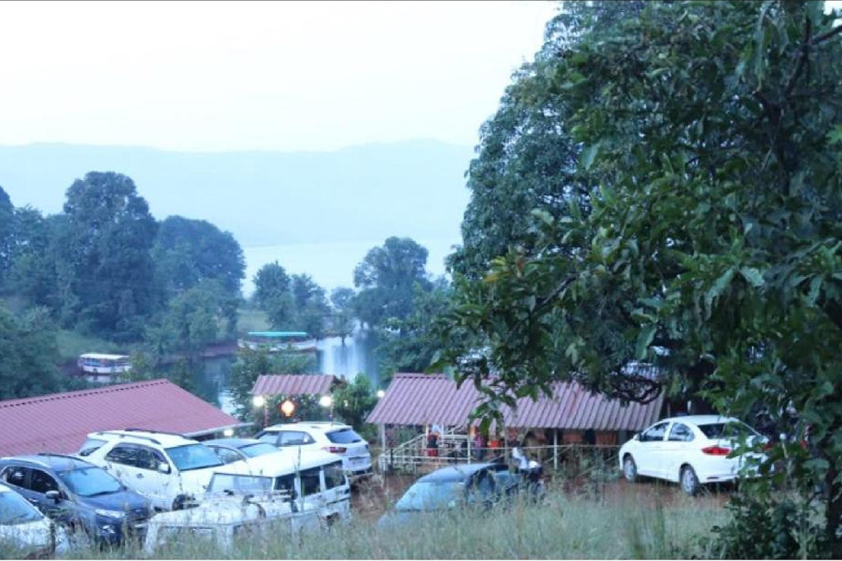
- Boat crossing (Bamnoli → drop): 30–90 minutes depending on water level and boat.
- Trek from drop to summit: 1.5–3.5 hours depending on distance and pace.
- Time at summit / photography / lunch: 30–90 minutes.
- Return trek to drop: 1–3 hours (usually quicker downhill).
- Boat crossing back: 30–90 minutes.
- Total on-trail & boat time: ~4–7 hours (core window). Expect 10–14 hours door-to-door if you include travel from Pune/Mumbai.

Route Variants and How They Change Distance/Difficulty
1. High-Water Direct Landing (Short Route)
Boat lands near the fort base → shorter walk (~3 km) → less elevation gain → more time on the summit and photographer-friendly. Difficulty: easy-moderate.
2. Low-Water Extended Landing (Long Route)
Boat lands farther away → longer walk (~5–6 km or more) → higher cumulative elevation gain and more time in the forest. Difficulty: moderate (higher stamina needed).
3. Extended Nature Loops / Viewpoint Detours
Guides sometimes take small side-trails for birding or viewpoints → adds time and distance (optional). Good for birders and photographers.
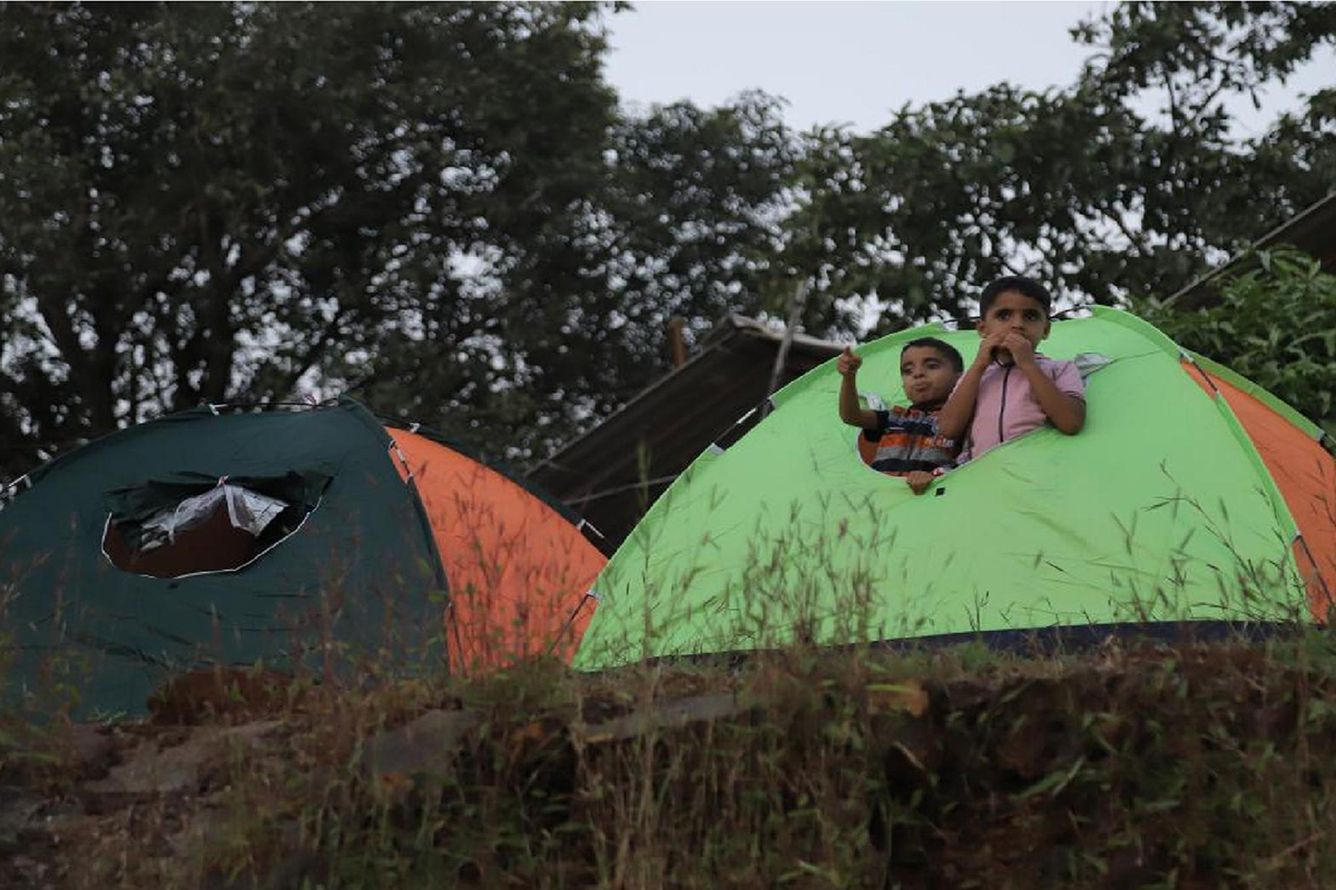
4. Summit-Only vs Summit + Campsite
Choosing to camp adds evening/night navigation and logistics but does not greatly increase technical difficulty — it adds endurance and planning considerations (e.g., food, warmth).
Always confirm with your operator which variant they plan for your exact date.
Compare Vasota to Other Popular Maharashtra Treks (To Gauge Effort)
Vasota vs. Rajmachi
Difficulty: easy-moderate
Vasota's boat approach and forest segments make it feel more remote than Rajmachi; similar effort if Rajmachi is done via Kondhane or Lonavala but Vasota often involves more water logistics.
Vasota vs. Sinhagad
Difficulty: easy-moderate
Sinhagad is shorter and more accessible; Vasota requires boat coordination and is typically longer on trail.
Vasota vs. Harishchandragad
Difficulty: moderate-hard
Vasota is comparable in length but usually less technical than steep Harishchandragad climbs — however, Vasota's remoteness raises logistical complexity.
Use these comparisons when advising clients who've done regional treks before.
Practical Training Plan — 6 Weeks to Build Comfort and Confidence
If you want to feel comfortable on Vasota, follow this progressive 6-week plan (ideal if you're not a regular trekker):
Week 1–2 (Foundation)
3× per week brisk walks (30–45 minutes), focus on consistent uphill/steps if available.
Daily ankle mobility & calf stretches (5–10 minutes).
Week 3–4 (Build Endurance)
3× per week: one 60-minute hike/walk on uneven ground. Add 1 session of stair climbing (20 minutes).
Strength: 2× per week bodyweight exercises (squats, lunges, planks).
Week 5 (Load & Simulation)
Do a 2–3 hour hike with a 4–6 kg daypack; include uneven terrain.
Practice wearing hiking shoes, using poles, and carrying hydration
Week 6 (Taper & Prep)
1 long walk (90–120 minutes); then taper — short walks, stretching and rest before travel day.
Test gear (shoes, socks, pack). Pack blister prevention.
Notes: If you have joint issues, add low-impact cardio (elliptical, cycling) and consult your physician. This plan helps most beginners reach "comfortable moderate" fitness in 6 weeks.
Detailed Gear & Footwear Checklist (What Actually Matters)
Essentials
- Grip-soled trekking shoes (break them in).
- Daypack (20–30 L) with rain cover.
- 2–3 L water (hydration bladder recommended).
- Light waterproof jacket (monsoon).
- Headlamp (if any early starts).
- Trekking poles (optional) — helpful on wet descents.
- Dry bag for phone/camera on boat.
- First-aid + blister kit (moleskin, tape).
- ID copies (permits require IDs).
For Camping/Overnight
- Sleeping bag
- Warm layer
- Personal toiletries
- Power bank
Risk Checklist & Mitigation (What Can Go Wrong — And How We Manage It)
Slippery Rocks in Monsoon
Mitigation: Enforce grip shoes, slow sections, guide assistance.
Boat Delays/Cancellations
Mitigation: Confirm slots 48 hours prior; book with operators who handle permits.
Wildlife Encounters (Rare)
Mitigation: Guided groups, avoid wandering after dusk, food stored properly.
Medical Emergency
Mitigation: Guide with first aid, local emergency contacts, pre-trip medical disclosure.
Kas Koyna's role (if you book through the site): local operator liaison, permit processing, licensed boats, trained guides, permit compliance and contingency planning.
How to Plan with Kas Koyna
When you book at kaskoynaagrotourism.com, follow these steps to remove ambiguity:
Step 1
Request the exact planned drop point (name of landing creek or GPS) and expected walking distance.
Step 2
Ask for predicted crossing time (captain & boat specs).
Step 3
Confirm guide ratio (guests per guide) and whether porters are available.
Step 4
Check cancellation policy for weather/closing days.
Kas Koyna will provide permit handling, boat operator details and a pre-trip briefing with realistic walk/boat times.
Ready to Book?
Visit kaskoynaagrotourism.com or contact us directly:
WhatsApp: +91 94232 60999 | +91 77199 05999
Email: kaskoynaagrotourism@gmail.com
Frequently Asked Questions
Is Vasota a hard trek?
How long will it take me to reach the summit?
Does water level affect difficulty?
Can senior citizens or children do the trek?
Final Note — Realistic Expectations = Better Experience
If you plan, train, and confirm boat/drop logistics with the operator, the Vasota trek is a deeply rewarding moderate trek that feels more remote than many day hikes because of the water approach. Treat the 3–6 km one-way as your planning guideline, bring the right footwear, and use the 6-week training plan if you're not a regular hiker.
Ready to experience the Vasota trek? Book your adventure with Kas Koyna Agro Tourism and enjoy a safe, well-organized trek with expert guides, proper permits, and comprehensive support.
Ready to Trek Vasota Fort?
Book your Vasota trek package with complete guidance on distance, difficulty, and preparation.
View Trek Packages Contact Us